


Department history
Department of Geodesy and Geoinformatics is profiling and prepares graduates in the following areas:
Geodesy and remote sensing - bachelor's degree program "Geodesy", "Applied geodesy", "Remote sensing" and master's program "Geodesy";
Cartography and geoinformatics - master's program "Geoinformatics" (under the TEMPUS project).
The department provides the educational process for students of all architectural and construction areas of KSTU. I. Razzakov in various disciplines in geodesy, geoinformatics and remote sensing. Currently, teachers of the department provide classes in 34 disciplines.

GOALS AND OBJECTIVES OF THE DEPARTMENT
The main goal of the department "Geodesy and Geoinformatics" is the preparation of bachelors and masters in the areas of "Geodesy and remote sensing" and "Cartography and geoinformatics". The department is graduating and works in close cooperation with other departments of the university, while having its own area of research and teaching. Graduates of educational programs during their studies at the university achieve the following goals and learning outcomes:
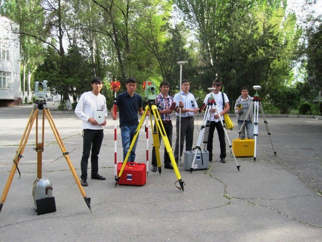
In the light of modern requirements for the introduction of innovative technologies, the educational laboratories of the department are systematically equipped with software and hardware complexes of computer technologies for processing and presenting spatial data, digital and electronic geodetic instruments, and instruments of global navigation satellite systems. Experienced specialists from leading enterprises and organizations are involved in educational and organizational work in the department. Part of the practical and laboratory classes are conducted in the branch of the department on the basis of a cartographic and geodetic company.


