Mine surveying and GIS technology
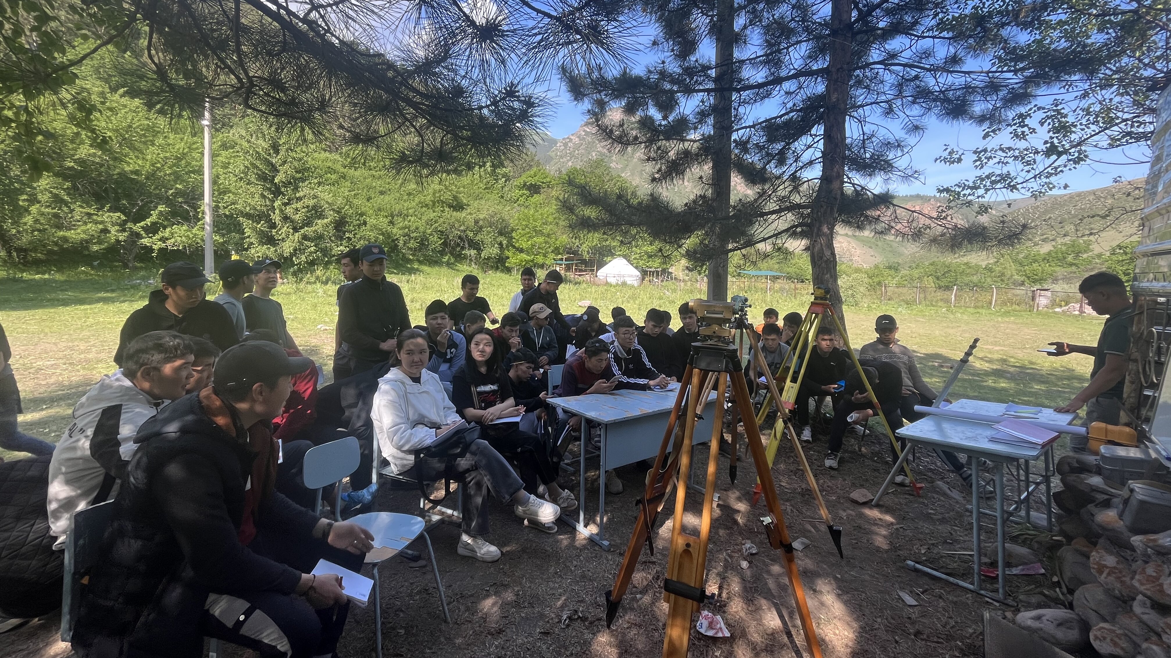
The department trains specialists in two specializations: 630003 "Surveying" with the qualification "Mining engineer" and 610001 "Applied Geodesy" with the qualification "Engineer", with the duration of full-time training – 5 years, and distance learning – 6 years, and also provides training for specialists in other specializations.
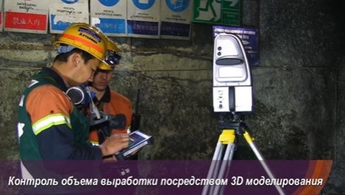
Specialization "Surveying". In the course of training in this specialization, students gain knowledge of performing full-scale measurements on the surface and in underground space; carrying out the transfer of design elements of structures for various purposes into nature; study methods for constructing models of mineral deposits and using existing methods of geometrization, and forecasting the placement of field indicators in space; master the formation of a database on subsurface use.
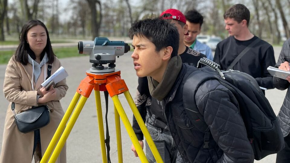
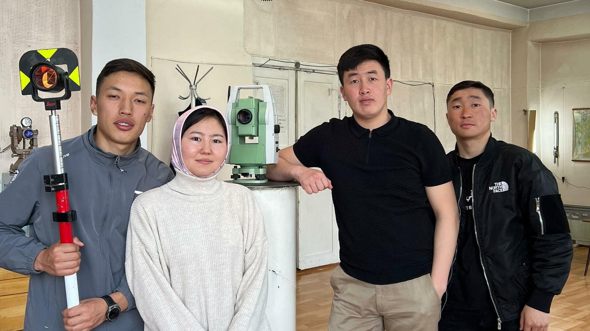
Specialization "Applied geodesy". In the course of training in this specialization, students get acquainted with the development of methods of geodetic measurements that allow to determine the degree of deformation of structures and ensure the construction of structures in exact accordance with the approved project; study the performance of work on the thickening of the planned network; are engaged in the compilation of maps, plans, diagrams, profiles and other materials of a topographic and geodetic nature; master inspections and alignment of geodetic instruments and instruments.
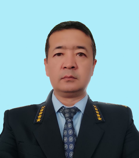
Umarov Talantbek Samievich
Head of the Department, Candidate of Technical Sciences, Associate Professor.
Address: 175 Chuisky Ave., Campus 3, Building 11, office 203, Bishkek, 720001, Kyrgyzstan.
Phone: +996 312 61-08-87
Email: gimd17@mail.ru
Website: www.kstu.kg


